

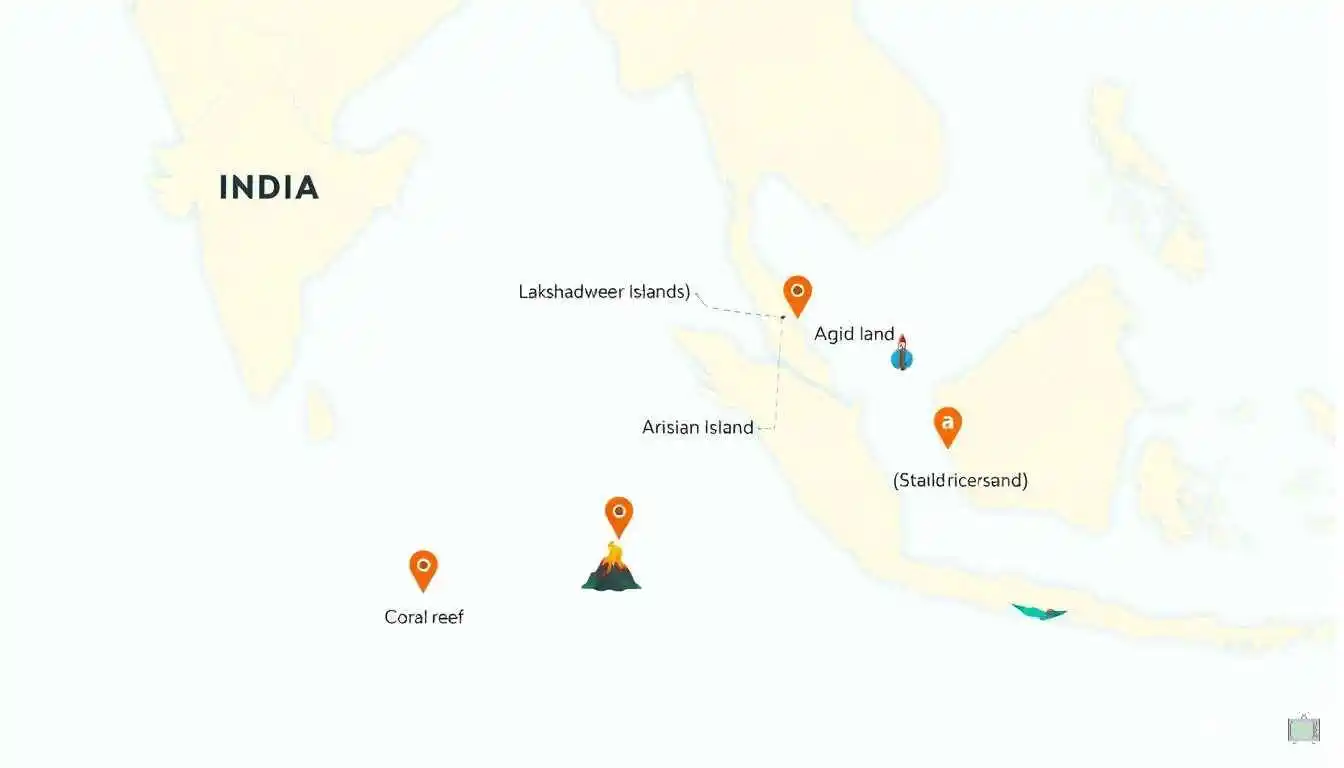
Kabir’s silence in that classroom was never really about a lack of effort. It was about a topic that had always been taught as a side note, never given the chance to feel connected or interesting. Once we replaced a flat list of names with real reasoning — why an island exists where it does, how it was formed, and why it actually matters — the entire topic changed shape in the minds of that class, the same way it hopefully has for you while reading this post.
The next time you look at a map of India, try not to stop at the coastline. Notice the scattered pieces of land sitting further out in the Bay of Bengal and the Arabian Sea, and the quiet island resting inside a river in Assam. Each one has its own story of formation, its own role in India’s economy, environment, and even its space program, and each one is far more interesting than a two-mark definition ever gives it credit for.
Understand this topic well, and you are not just preparing for one chapter of geography. You are training yourself to look at a map and ask good questions about it — which is, honestly, the real skill behind every strong geography student and every good mapmaker alike.
And if a teacher ever asks your class to name more than one Indian island group, I hope you are the student whose hand goes up second, third, and fourth — not out of pressure to impress anyone, but because the map genuinely makes sense to you now, the same way it eventually made sense to a boy who once sat in silence, unsure of a second answer.
Keywords
islands in India, Andaman and Nicobar Islands, Lakshadweep Islands, types of islands in India, coral islands India, river islands India, Majuli largest river island, Indian geography islands, Barren Island volcano, islands of India for students, India map islands
Hashtags
#IslandsOfIndia, #IndianGeography, #AndamanAndNicobar, #Lakshadweep, #GeographyForStudents, #LearnGeography, #IndiaMap, #StudyTips, #GeographyMadeEasy, #EduBlog, #MajuliIsland
FAQS
Q1. How many islands does India have in total?
India has more than 1,300 islands in total, including major groups, river islands, and many small uninhabited islets.
Q2. Which are the two major island groups of India?
The two major island groups are the Andaman and Nicobar Islands in the Bay of Bengal and the Lakshadweep Islands in the Arabian Sea.
Q3. Where are the Andaman and Nicobar Islands located?
They are located in the Bay of Bengal, far off the eastern coast of India, closer to Myanmar than to mainland India.
Q4. Where are the Lakshadweep Islands located?
They are located in the Arabian Sea, off the coast of Kerala, and form India’s smallest Union Territory.
Q5. What is the capital of the Andaman and Nicobar Islands?
Port Blair is the capital of the Andaman and Nicobar Islands.
Q6. What is the capital of Lakshadweep?
Kavaratti is the capital of Lakshadweep.
Q7. How many islands make up the Andaman and Nicobar group?
The Andaman and Nicobar Islands consist of 572 islands, islets, and rocks, though only around 37 are inhabited.
Q8. How many islands make up Lakshadweep?
Lakshadweep consists of 36 islands, of which only 10 are inhabited.
Q9. What type of islands are found in Lakshadweep?
Lakshadweep islands are coral islands, formed over thousands of years by coral polyps building reefs and atolls.
Q10. What type of islands are found in Andaman and Nicobar?
These are mostly continental and volcanic islands, formed as exposed peaks of an underwater mountain range.
Q11. What is India’s only active volcano?
Barren Island, located in the Andaman group, is India’s only confirmed active volcano.
Q12. What is Majuli famous for?
Majuli, in Assam’s Brahmaputra river, is widely known as the largest river island in the world.
Q13. Is Majuli a sea island or a river island?
Majuli is a river island, formed within the Brahmaputra river rather than in the sea.
Q14. Why is Majuli shrinking over time?
Continuous erosion from the Brahmaputra river has reduced Majuli’s total land area significantly over the past century.
Q15. What is a barrier island?
A barrier island is a narrow strip of land running parallel to the coast, separated from the mainland by a lagoon or backwater.
Q16. Which Indian island houses a major space launch centre?
Sriharikota, a barrier island in Andhra Pradesh, houses the Satish Dhawan Space Centre used by India’s space program.
Q17. What sea separates Andaman from Nicobar Islands?
The Ten Degree Channel separates the Andaman Islands from the Nicobar Islands.
Q18. Why are India’s islands strategically important?
Islands extend India’s maritime boundary and Exclusive Economic Zone, giving the country greater control over surrounding ocean resources.
Q19. What is an Exclusive Economic Zone?
It is the area of sea around a country where it holds special rights to explore and use marine resources like fishing and drilling.
Q20. Are all of India’s islands inhabited?
No, the majority of India’s islands are small, uninhabited islets, with only a limited number permanently inhabited.
Q21. Why is Lakshadweep considered environmentally sensitive?
Its coral-based islands are highly sensitive to rising sea temperatures, which can cause coral bleaching and threaten the islands themselves.
Q22. What are delta islands?
Delta islands are low-lying islands formed from river sediment deposited where a river meets the sea, as seen in the Sundarbans.
Q23. What is special about the Sundarbans islands?
The Sundarbans delta islands are covered largely by mangrove forests and are home to the Sundarbans Tiger Reserve.
Q24. Which sea is closer to Lakshadweep, and which to Andaman and Nicobar?
Lakshadweep lies in the Arabian Sea, while the Andaman and Nicobar Islands lie in the Bay of Bengal.
Q25. Is Lakshadweep larger or smaller than Andaman and Nicobar in area?
Lakshadweep is much smaller, covering about 32 square kilometres compared to the far larger area of Andaman and Nicobar.
Q26. What indigenous communities live in the Andaman and Nicobar Islands?
Several indigenous tribal communities live in these islands, some of which have remained isolated from outside contact for a long time.
Q27. Can islands disappear over time?
Yes, erosion, shifting river courses, and rising sea levels can shrink or even submerge low-lying islands over time.
Q28. Why do students often confuse Lakshadweep and Andaman and Nicobar?
Both are island Union Territories of India, which leads students to mix up their location, origin, and size without a clear comparison method.
Q29. What is the best way to remember the difference between these two island groups?
Remember that Lakshadweep is coral-based and sits in the Arabian Sea, while Andaman and Nicobar is continental or volcanic and sits in the Bay of Bengal.
Q30. Why does this topic matter beyond exams?
Understanding India’s islands connects directly to real topics like climate change, maritime boundaries, biodiversity, and current events involving these regions.
Disclaimer: The content on this blog is for informational purposes only. The author’s opinions are personal and not endorsed. Efforts are made to provide accurate information, but completeness, accuracy, or reliability are not guaranteed. The author is not liable for any loss or damage resulting from the use of this blog. It is recommended to use the information on this blog at your own discretion.